REGIONAL NSW. REAL-WORLD THINKING.
A different
perspective.
A better connection.
From a clearer view of your site to keeping your riding group connected beyond mobile coverage. We bring aerial capability and practical software together.
RePL-licensed operatorNSW east coastIndependent development
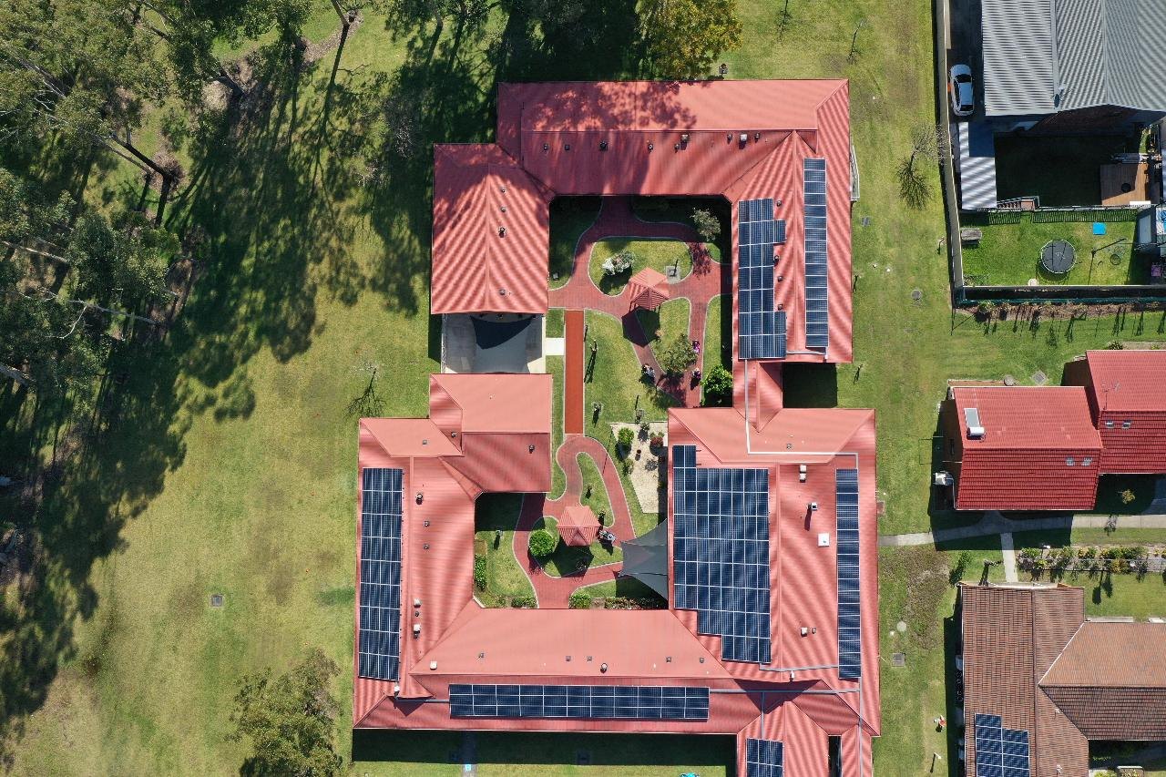
INS AIR / FIELD PERSPECTIVENSW, AUSTRALIA
+A clearer view.Aerial imagery by Integrated Networking Systems
LOCAL KNOWLEDGE.
TECHNICAL CURIOSITY.
Grounded in the country.
Built for the field.
Integrated Networking Systems Pty Ltd is based in regional New South Wales, Australia. Led by John, a RePL-licensed drone operator and software developer, we work where accurate aerial information and reliable connections matter.
01 / WHAT WE DO
Two disciplines.
One practical approach.
Aerial work and software development, shaped by hands-on experience rather than a one-size-fits-all solution.
⌖01 / AERIAL
Drone surveys
& aerial imaging
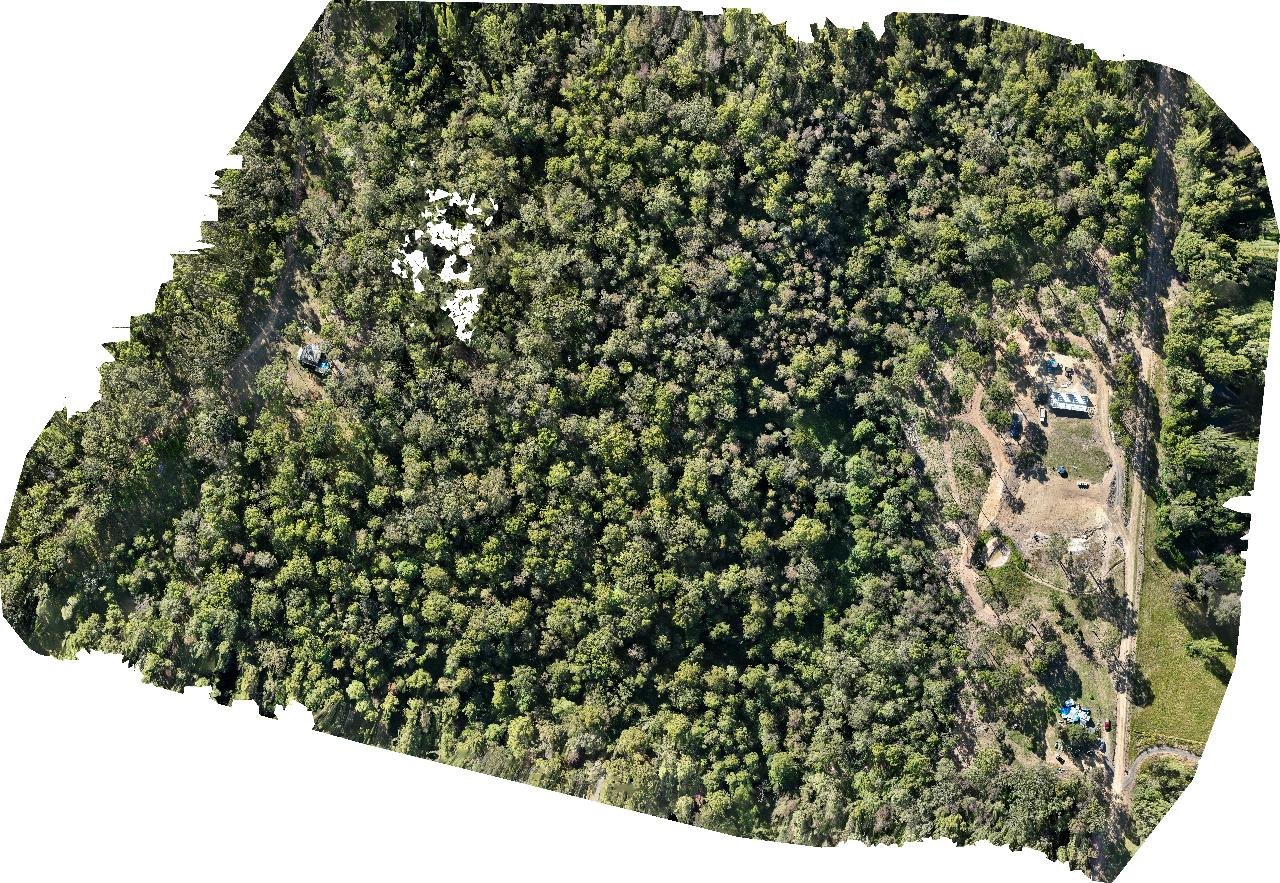
Regular site capture and a fresh perspective on the places you manage. Monthly quarry surveys along the NSW east coast are a core part of our work.
- Monthly quarry survey operations
- Aerial photography and site documentation
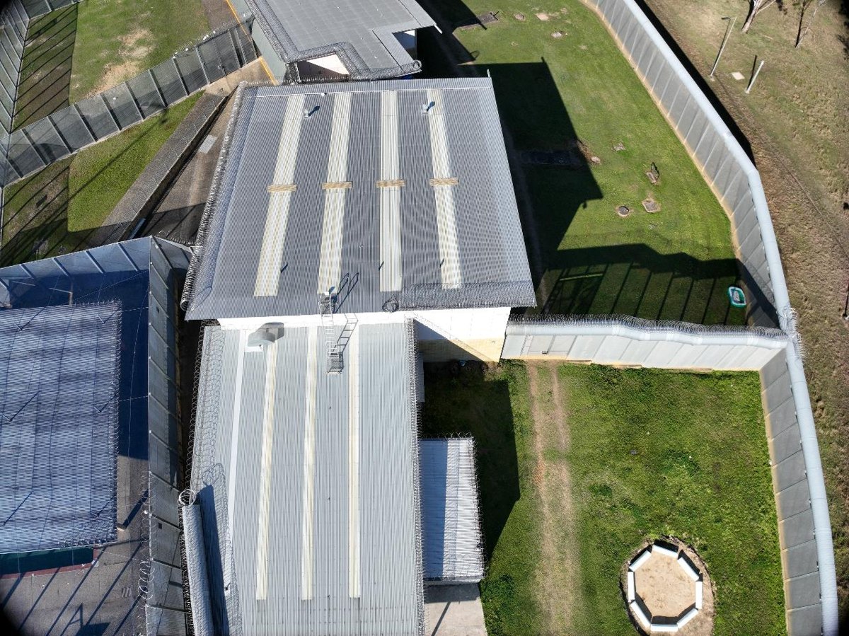
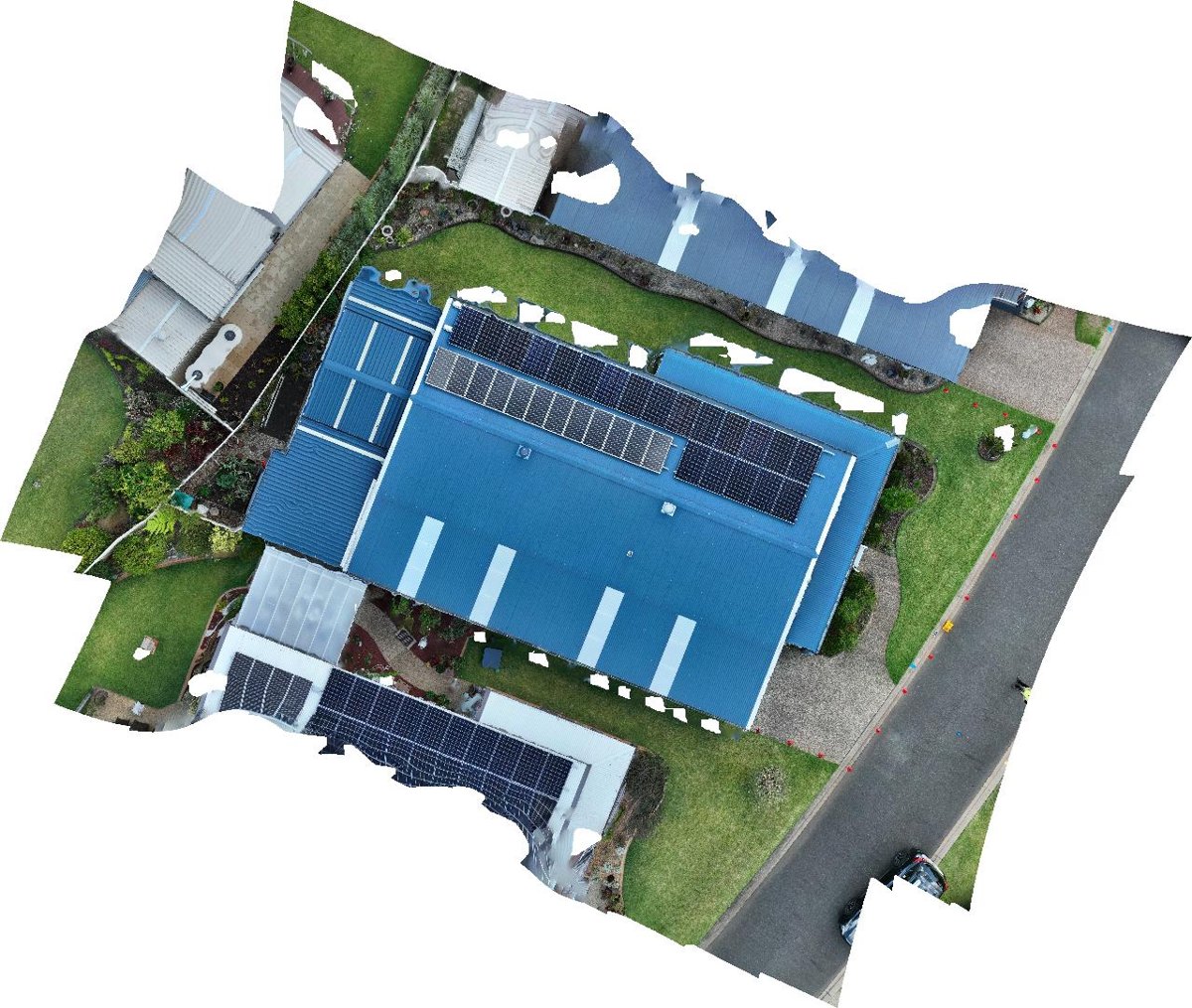
- Roof and asset imaging
- Orthomosaic imagery
View our operator profile ↗
⇄02 / SOFTWARE
Technology for
the road less travelled
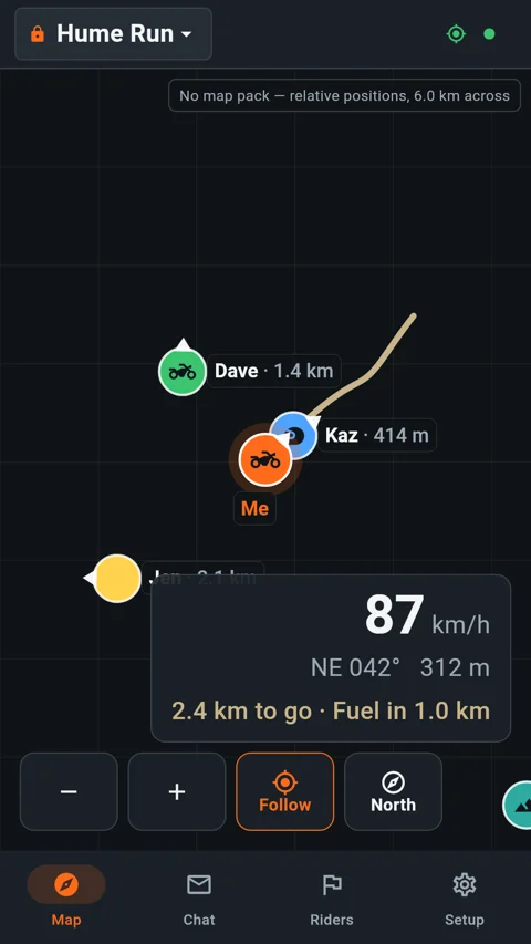
We're building ADVMesh for adventure motorbike riders and off-grid explorers: a practical way to share positions and messages through a compatible MeshCore radio.
- Android companion application
- 7-inch touchscreen head-unit project
- Offline maps and group communication
- Optional Internet relay for connected gateways
Explore the ADVMesh project →
02 / THROUGH OUR LENS
The view tells the story.
A selection of our aerial property, roof and mapping work. Click a photograph to see the detail.
Photographs from our own portfolio. See more on Drones for Hire ↗
03 / THE TOOLKIT
The right aircraft.
For the right view.
Our fleet brings together an RTK-equipped enterprise platform and agile FPV aircraft. Equipment and flight planning are matched to the job and operating conditions.
01DJI Mavic 3 Enterprise + RTK
Our enterprise platform for survey capture, mapping and detailed site imagery.
DJI Avata
An FPV perspective for immersive aerial footage.
Two custom 5-inch freestyle drones
Purpose-built FPV aircraft, backed by hands-on building and flying experience.
04 / OUR SOFTWARE PROJECT
 ADVMeshBUILT FOR ADVENTURE
Beyond coverage.
Not beyond connection.
Stay connected to your group when the road takes you away from mobile service. ADVMesh pairs with compatible MeshCore companion radios for LoRa messaging and position sharing, with offline maps for the journey.
Offline mapsGroup positionsChannel chatAndroid + head unit
Already an invited tester? Get the Android app ↗
Compatible radio hardware is required for off-grid mesh communication. Range depends on terrain and radio conditions. Internet relay features require an Internet-connected gateway; private relay access is subject to account membership. ADVMesh is not an emergency or distress service.
YOUR GROUP. YOUR NEXT ADVENTURE.